
Wander Luxe Lodgings
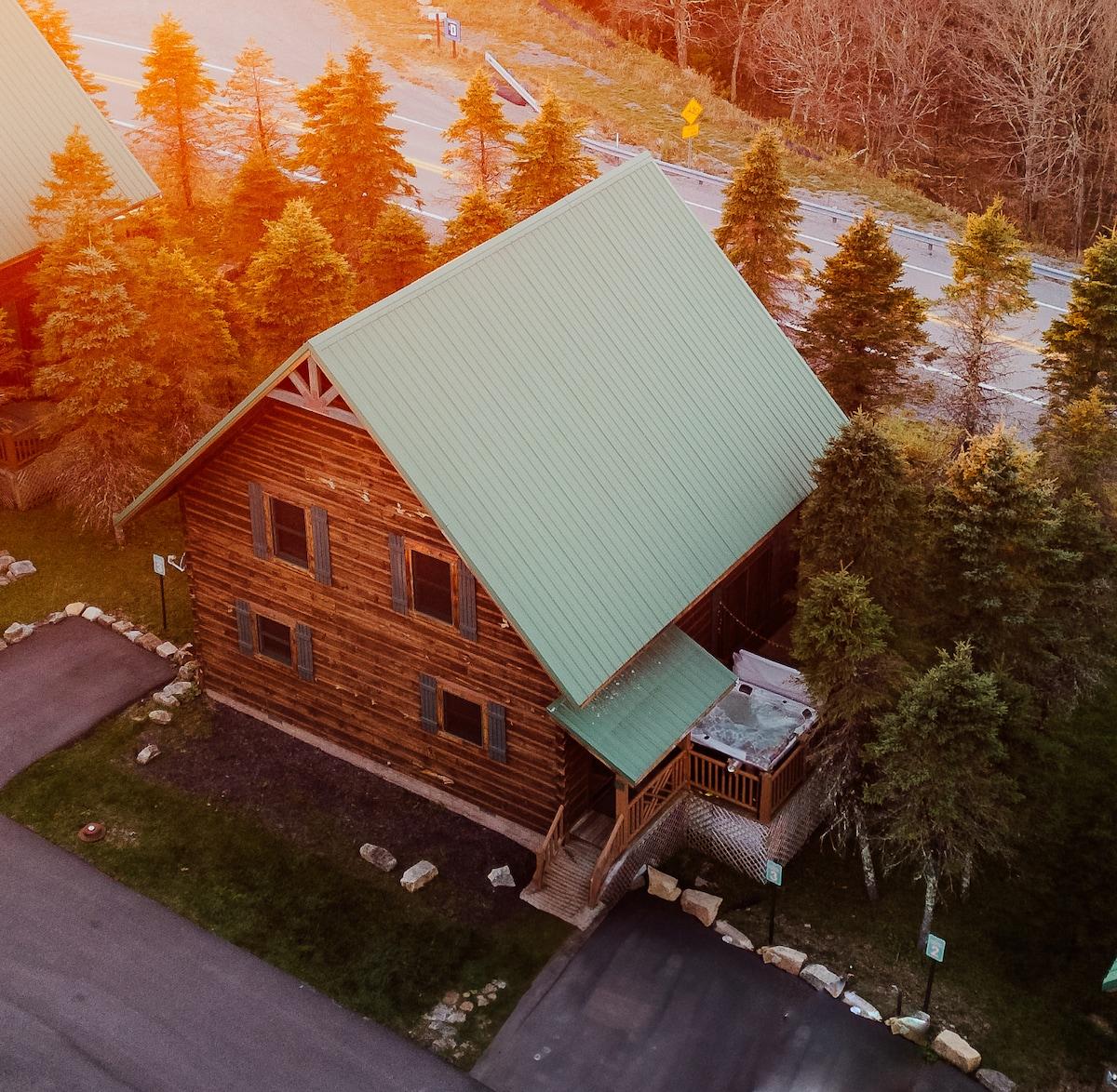
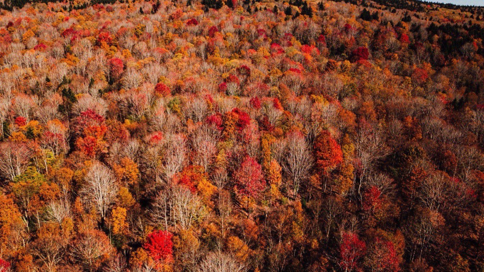
Peak fall color on Cheat Mountain from the air, near Snowshoe

Off the mountain

Off the mountain

Pocahontas County and the drives worth taking

The best day trips from Snowshoe are the Cass Scenic Railroad and Green Bank Observatory, each about half an hour away, and the Highland Scenic Highway, waterfalls, boardwalk bogs, and Civil War overlooks under an hour out. Most of it is free, and all of it is open when the lifts are not, which is why we send closure-week guests down the hill. Below: every stop with drive times, three loops we plan ourselves, the cell-service reality, and the essentials.

Good to know

In April, May, and November the resort shuts down for maintenance and most Village businesses close with it. Everything on this page keeps going, which is why we send closure-week guests down the hill. Confirm hours by phone in those months, and check the mountain report for what is open on the mountain today.

Mountain report
Drive from the Village:17 of 17 stops

Trains and dark skies

The two things people drive to Pocahontas County for that have nothing to do with skiing.

3 stops
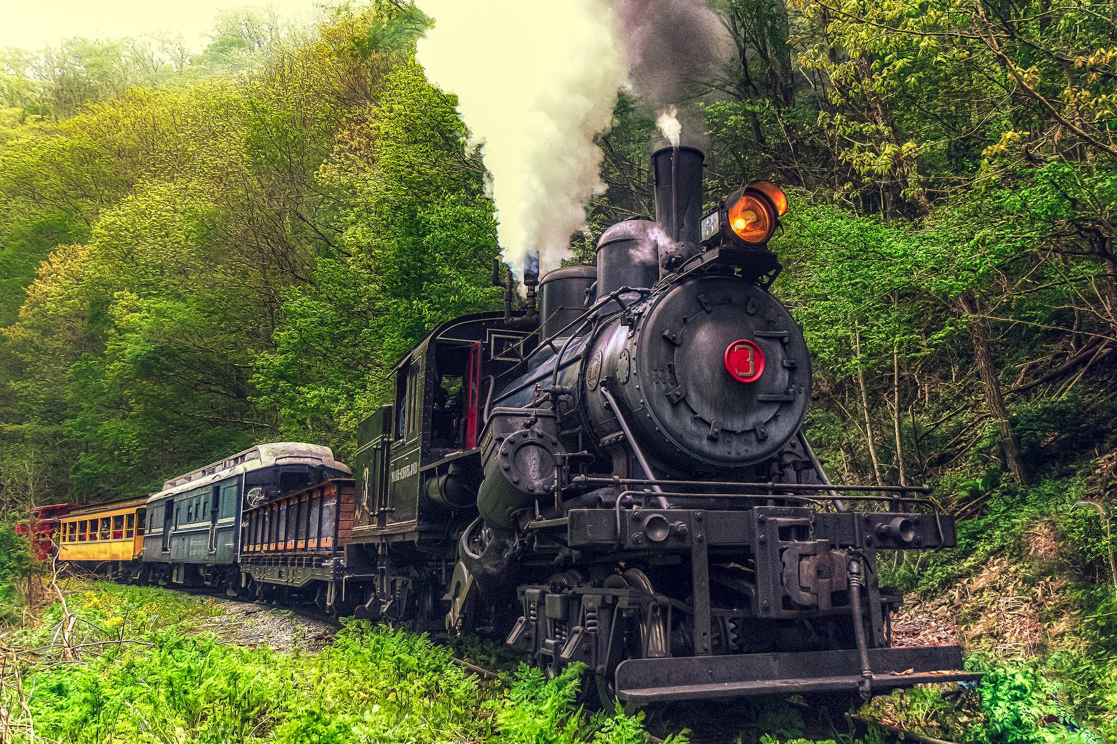
Cass Scenic Railroad State Park

Cass Scenic Railroad State Park

25-30 min

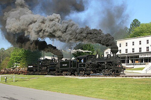
Historic Shay locomotive train rides from three depots (Elkins, Durbin, Cass), a 2-hour round trip or a 5-hour trip to Bald Knob summit.

Twenty-five minutes from the Village, and our most recommended day trip. Book the Bald Knob run in October. Trains start in late spring, so it is a summer and fall thing.

Hours
Mon-Wed 8am-6pm, Thu-Sun 8am-8pm (park); trains run Apr-Dec
Price
Cass to Spruce: Adult (12-64) $85, Senior (65+) $83, Child (4-11) $65, Military/Veteran $81 (includes a cold-cut lunch). This is a rare special excursion, not a regular run, only a handful of dates each season (4 in 2026). The regular, more frequent trip is Whittaker Station, starting at $65.
Address
12363 Cass Rd, Cass, WV 24927
(304) 636-9477wvstateparks.com ↗

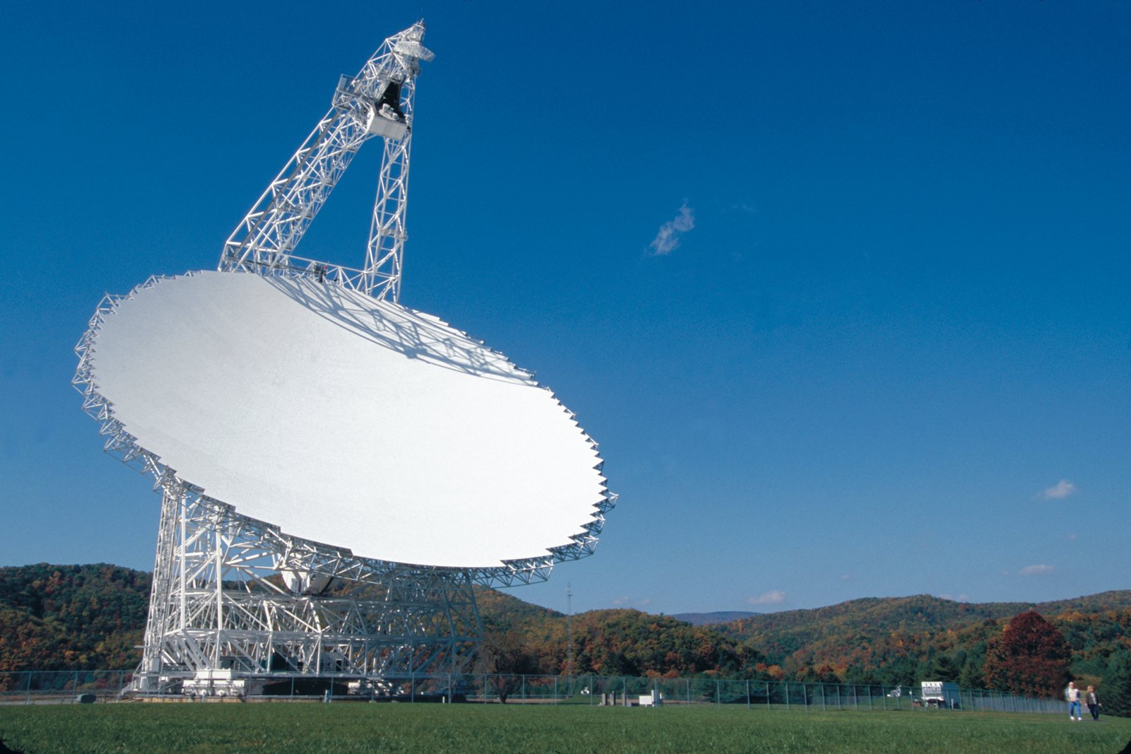
Green Bank Observatory

Green Bank Observatory

35-40 min

The largest fully-steerable radio telescope on the planet, 17 million pounds, standing 485 feet tall, with a reflecting surface measuring about 2.3 acres. Home of the National Radio Astronomy Observatory, which has 11 telescopes on display and sits inside the National Radio Quiet Zone, making the night sky here some of the darkest on the East Coast. Guided site tours run about an hour.

The reason your phone has no signal out here. The science center is free, the guided bus tour is worth the small fee, and the night sky on the drive home is the darkest you will see on the East Coast.

Hours
Thu-Mon 9:30am-5:30pm, closed Tue & Wed
Address
155 Observatory Rd, Green Bank, WV 24944

(304) 456-2150greenbankobservatory.org ↗

Durbin Rocket (Durbin & Greenbrier Valley Railroad)

Durbin Rocket (Durbin & Greenbrier Valley Railroad)

~50 min

Vintage 1920s coaches pulled by a rare geared Heisler locomotive, on a 2-hour, 10.5-mile round trip along the Greenbrier River from the Durbin Depot.

Runs earlier in spring and later in fall than Cass, which makes it our pick for shoulder-season guests.

Hours
Runs April through December; Thu-Sun departures (10am/2:30pm) through summer, daily departures in October, a stronger October pick than Cass since it runs later into fall.
Price
Book on the railroad's live calendar; fares vary by date and seating. Kids under 4 ride free with advance online tickets. A two-hour, 10.5-mile ride along the Greenbrier River in 1920s coaches and cabooses, April through December.
Address
Durbin Depot, Durbin, WV 26264
Our tip
Runs from the Durbin depot, about 35 minutes from Snowshoe. Steam power depends on the date, so check the calendar if the locomotive matters to you. Cass trains start later in spring, so this is the train for April guests.

304-636-9477mountainrailwv.com ↗

Scenic drives and high points

Best in October, when the whole ridge turns. The Highland Scenic Highway gate closes for winter.

3 stops
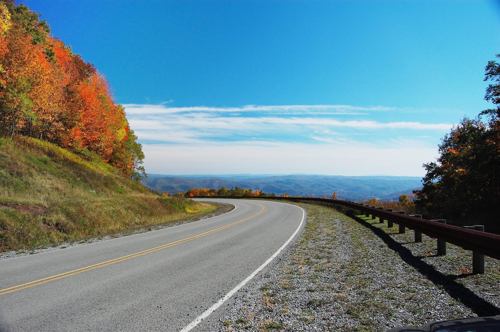
Highland Scenic Highway (WV Route 150)

Highland Scenic Highway (WV Route 150)

~10-15 min to the WV 150 junction near Slatyfork

43-mile National Scenic Byway through Monongahela National Forest along the crest of the Alleghenies (up to 4,545 ft), famous for fall foliage and ridge-top views. Notable stops: Big Spruce, Red Lick, Little Laurel, and Williams River overlooks, plus Cranberry Glades and Falls of Hills Creek along the corridor.

Our fall-color drive. Pack a lunch, stop at every overlook, and loop back through Marlinton. Confirm the gate is open before mid-May or after mid-October.

Our tip
The 23-mile parkway section is not plowed and closes from late fall until spring. Check that the gate is open before an early-spring or late-fall drive. October is peak color.
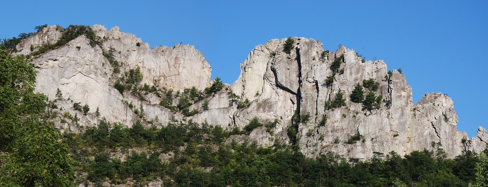
Seneca Rocks

Seneca Rocks

60-75 min

An iconic 900-foot quartzite formation and one of the major East Coast rock-climbing destinations. The Discovery Center has a small indoor climbing wall and trail info.

Worth the drive for the view alone, and the short trail to the observation platform is doable with kids.

Hours
Discovery Center: May 19-Sept 1 daily 9:30am-5pm
Address
13 Roy Gap Rd, Seneca Rocks, WV 26884

(304) 567-2827

Spruce Knob

Spruce Knob

75-90 min

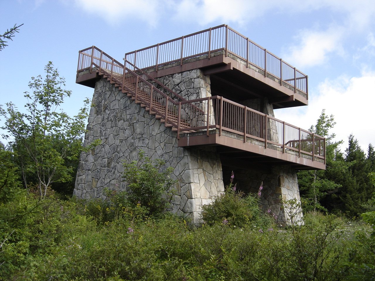
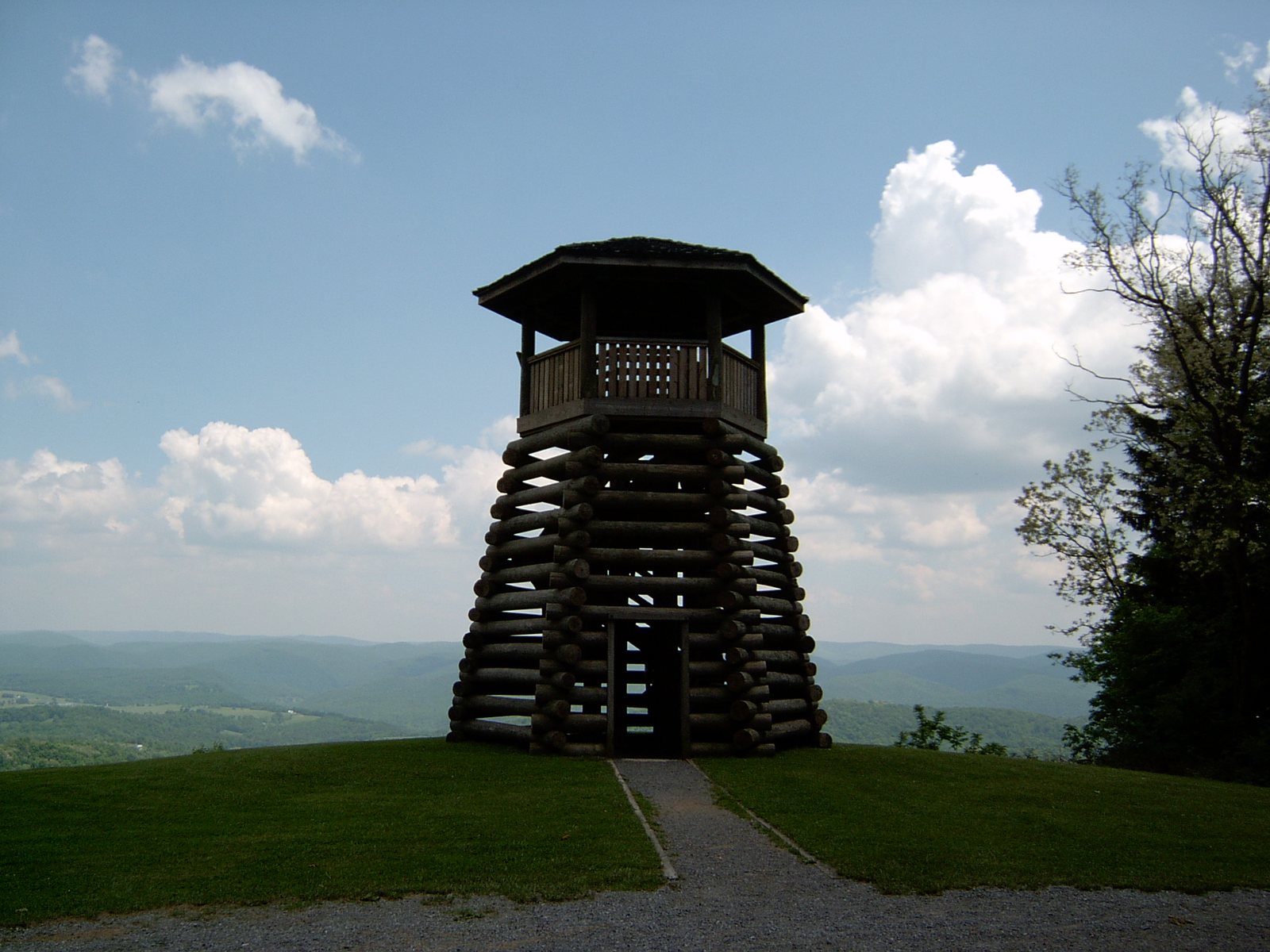
The highest point in West Virginia (4,863 ft) with a stone observation tower on the half-mile Whispering Spruce Trail loop.

The top of West Virginia. The last road up is gravel and slow, so give it a full half day and go on a clear morning.

Hours
Daylight hours, gravel/paved mountain road, can be rough in snow
Address
FR 104, off FR 112, Monongahela National Forest

fs.usda.gov ↗

State parks, waterfalls, and the forest

All within an hour, all open when the resort is closed, most of them free.

7 stops
Watoga State Park

Watoga State Park

35-40 min

West Virginia's largest state park, 34 rental cabins, 37.5 miles of trails, and access to the Greenbrier River Trail.

The Greenbrier River Trail access here is the easiest flat bike ride in the county. Rent bikes at the Dirt Bean in Marlinton on the way.

Address
4800 Watoga Park Rd, Marlinton, WV 24954

(304) 799-4087wvstateparks.com ↗

Seneca State Forest

Seneca State Forest

~35-40 min

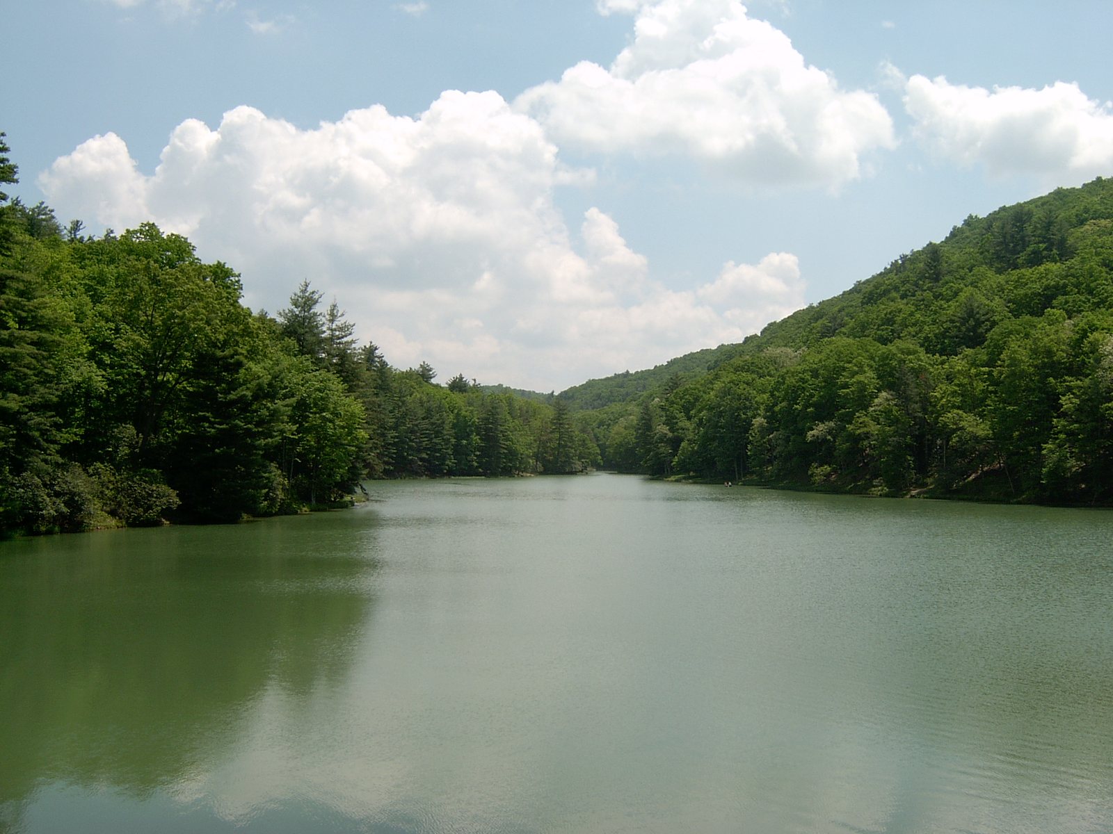
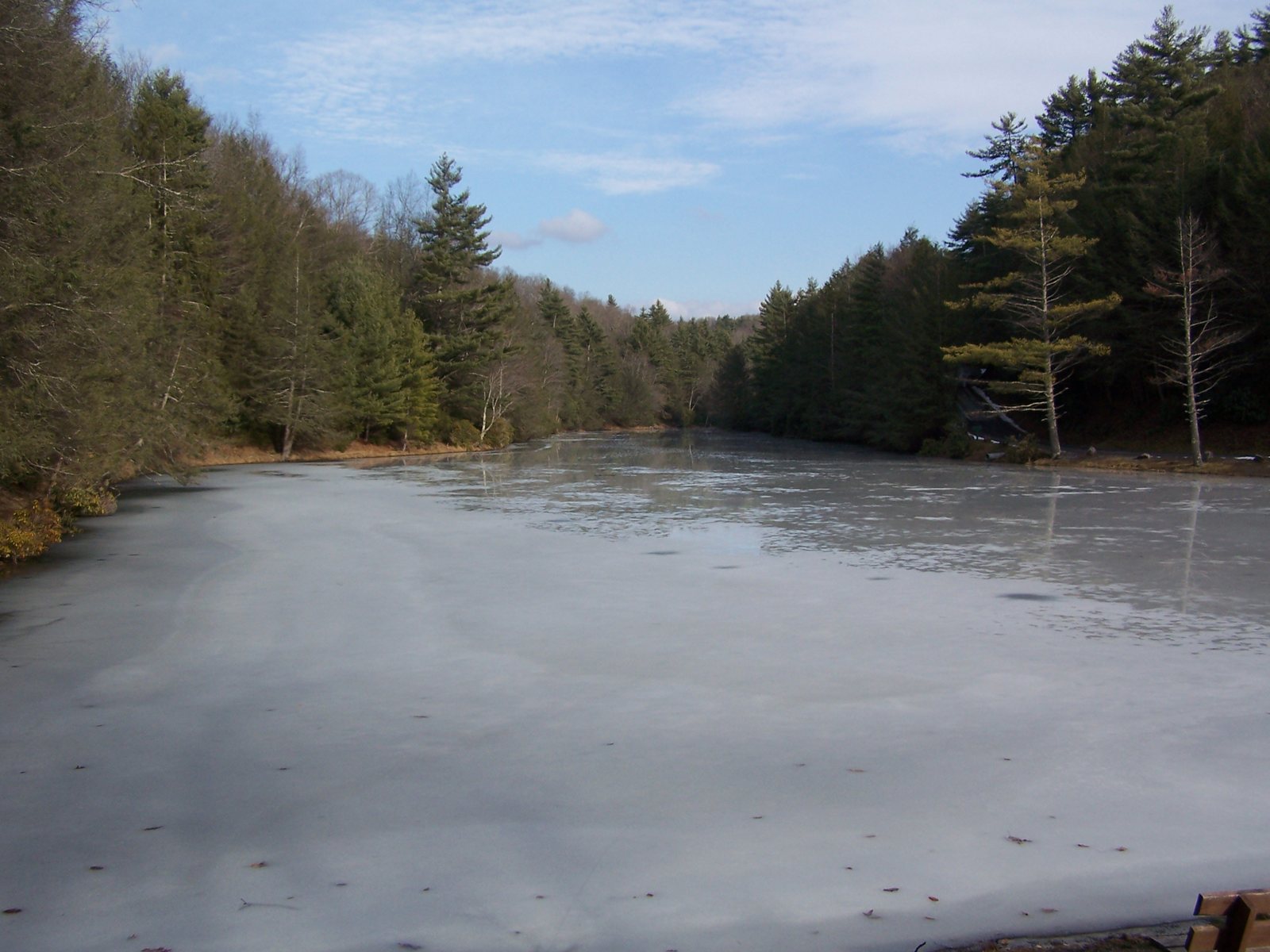
WV's oldest state forest (1924), 8 rustic pioneer cabins (no electricity, gas fridge/heat, hand-pump wells), a 4-acre stocked lake for fishing/kayaking/canoeing, 23 miles of hiking/biking trails, and a historic fire tower.

Hours
Grounds 8am-10pm. Campground/cabins run spring through fall, weather permitting, not a strict year-round operation. No cell service on-site.
Address
10135 Browns Creek Road, Dunmore, WV 24934
Our tip
Open through the spring and fall closures, weather permitting. Call ahead in the shoulder months.

304-799-6213wvstateparks.com ↗

Beartown State Park

Beartown State Park

45-50 min

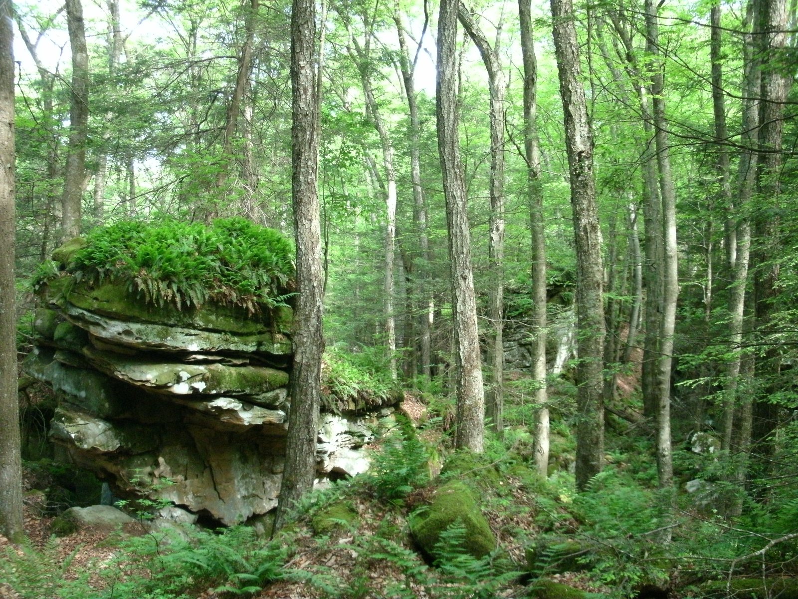
A 110-acre park with a boardwalk trail winding through unique sandstone rock formations and crevices.

A boardwalk through house-sized boulders and moss. Kids love it, and it takes under an hour.

Address
Near Hillsboro, WV, Greenbrier County

wvstateparks.com ↗

Cranberry Glades Botanical Area

Cranberry Glades Botanical Area

Summer

45-55 min

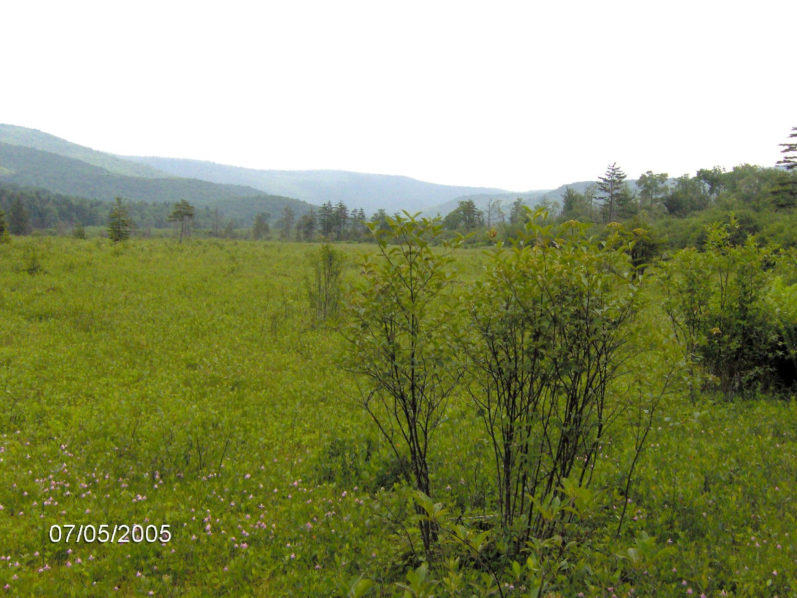
A rare boreal bog ecosystem with carnivorous plants, reached by a 0.6-mile wheelchair-accessible boardwalk. Connects to the 6-mile Cow Pasture Trail bordering the Cranberry Wilderness.

A flat, stroller-friendly boardwalk through a bog that looks like Canada. Twenty minutes to walk, longer if you read the signs.

Hours
Boardwalk open late spring-fall
Address
Off Rt 39 (Highland Scenic Highway), near Hillsboro, WV
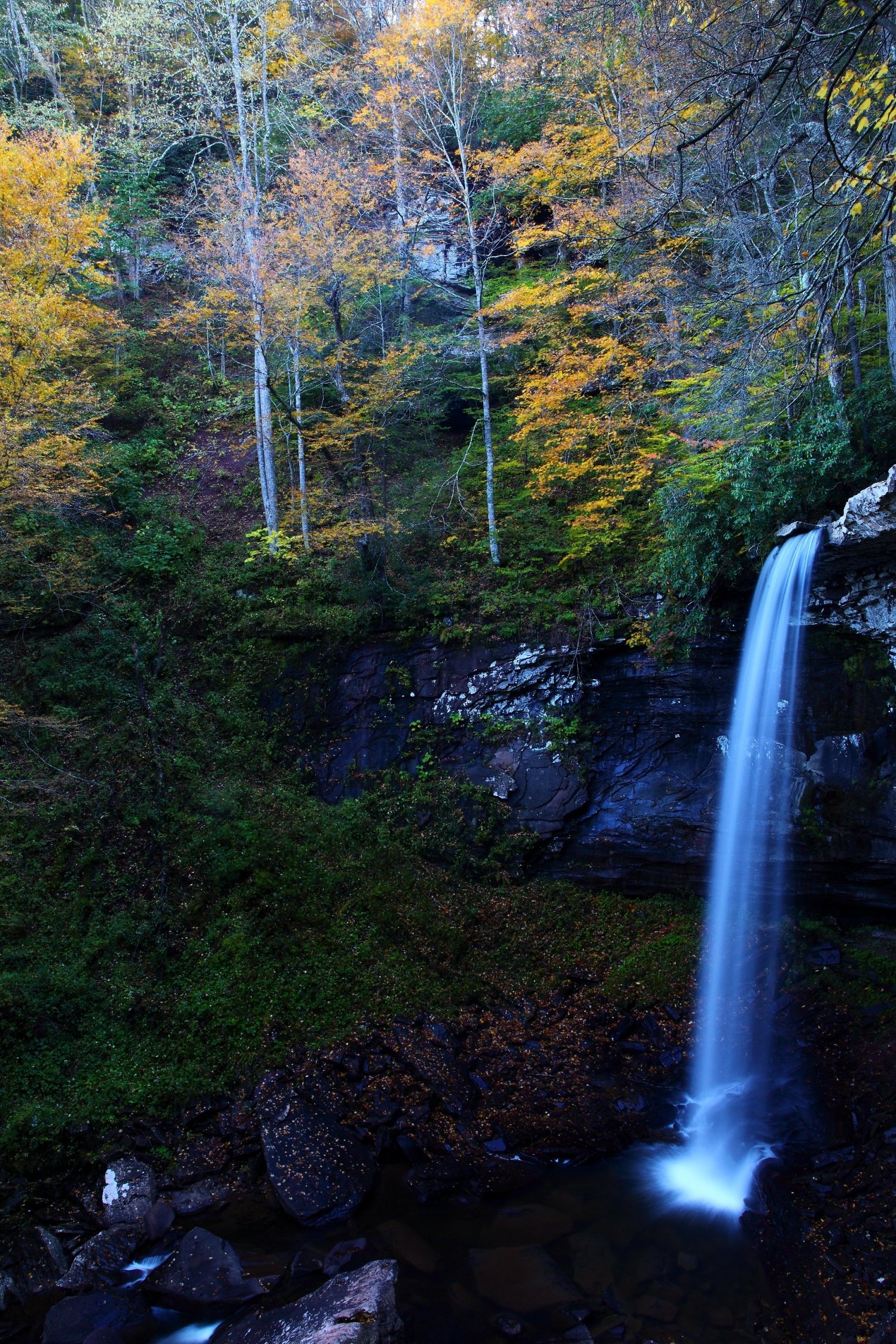
Falls of Hills Creek

Falls of Hills Creek

50-55 min

Three waterfalls, the 63-ft lower falls is West Virginia's second-highest. A 0.75-mile trail (one-way; about 1.4-1.5 miles round trip) starts paved/accessible, then continues via stairs and boardwalks.

Three falls on one short trail. The lower falls is the payoff, and the stairs back up are the workout. Combine with Cranberry Glades next door.

Hours
Spring-late fall
Address
Off Rt 39 (Highland Scenic Highway), ~5 mi west of Cranberry Mtn Nature Center
Droop Mountain Battlefield Park

Droop Mountain Battlefield Park

Year-round

~50-55 min

Civil War battlefield, the last major battle fought in WV (Nov 6, 1863), and WV's first state park (1928). Small museum in a 1930s CCC cabin, monument, trails, and overlook.

The lookout tower over the Greenbrier Valley is the reason to stop. Ten minutes from Beartown.

Hours
Grounds open 24/7 year-round; museum hours more limited, call to confirm.
Address
683 Droop Park Rd, Hillsboro, WV 24946

304-653-4254wvstateparks.com ↗

Monongahela National Forest

Monongahela National Forest

900,000 acres with trails extending for hundreds of miles, plus visitor centers, picnic areas, and campgrounds throughout. Plenty of places to go fishing, mountain biking, and hiking.

History and small museums

Rain-day options and easy add-ons to a drive south toward Hillsboro.

4 stops
Pocahontas County Historical Museum (Hunter House)

Pocahontas County Historical Museum (Hunter House)

~45 min

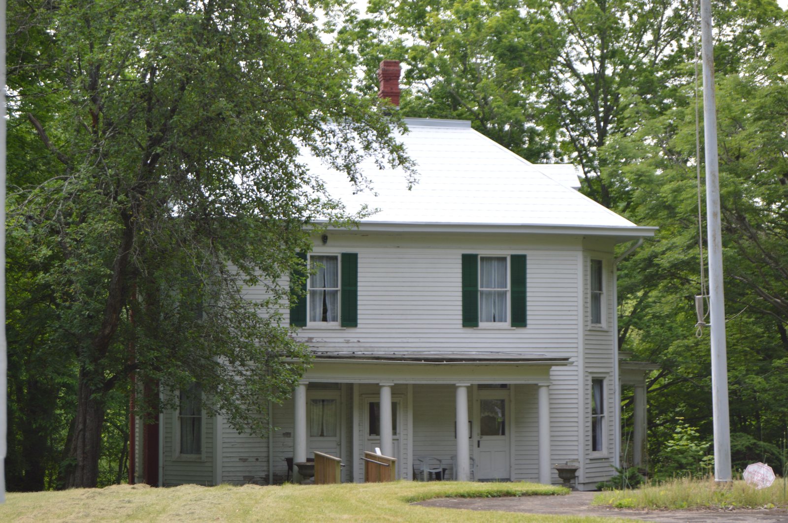
An 1903 historic home museum run by the Pocahontas County Historical Society, artifacts and documents on county history, plus the original Kee family log home on the grounds.

Address
Marlinton, WV
Our tip
Open seasonally in summer and fall. Call ahead to confirm days and hours.

304-799-6985

Pearl S. Buck Birthplace

Pearl S. Buck Birthplace

~55 min

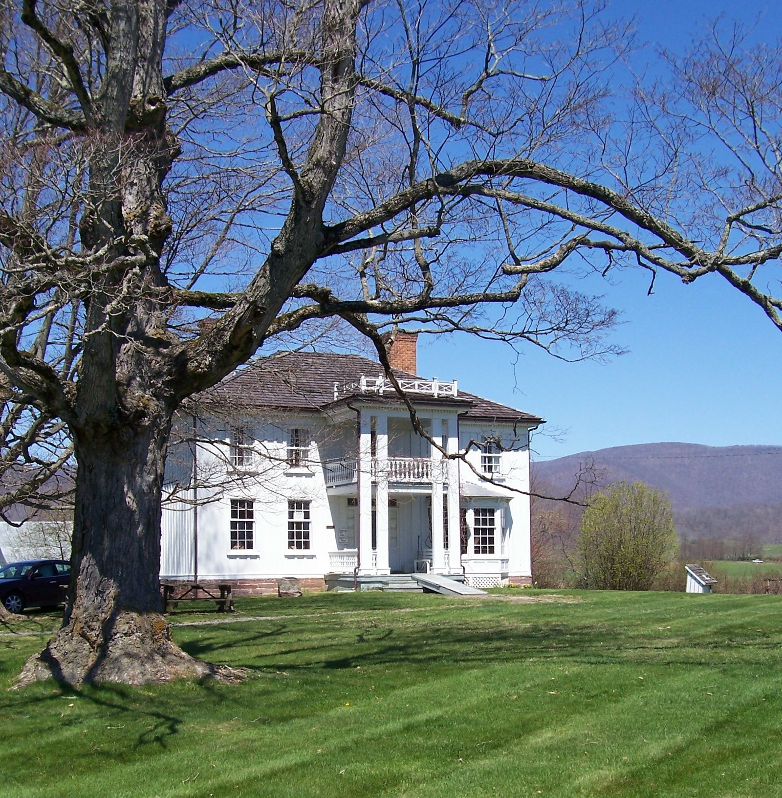
Birthplace and museum of Nobel and Pulitzer Prize-winning author Pearl S. Buck (born 1892), guided tours of the home, a barn with 100+ historic farm/woodworking tools, and the Sydenstricker log home.

Hours
Open Memorial Day weekend through October 15, Fri & Sat 10:30am-5pm (tours start 11:15am, last tour 4:15pm). Closed outside that window, though "Anytime Tours" may be available by calling ahead.
Address
8129 Seneca Trail (US 219), Hillsboro, WV 24946
Our tip
Closed from mid-October until Memorial Day weekend. Call ahead if you would like an off-season tour.

304-653-4430pearlsbuckbirthplace.com ↗

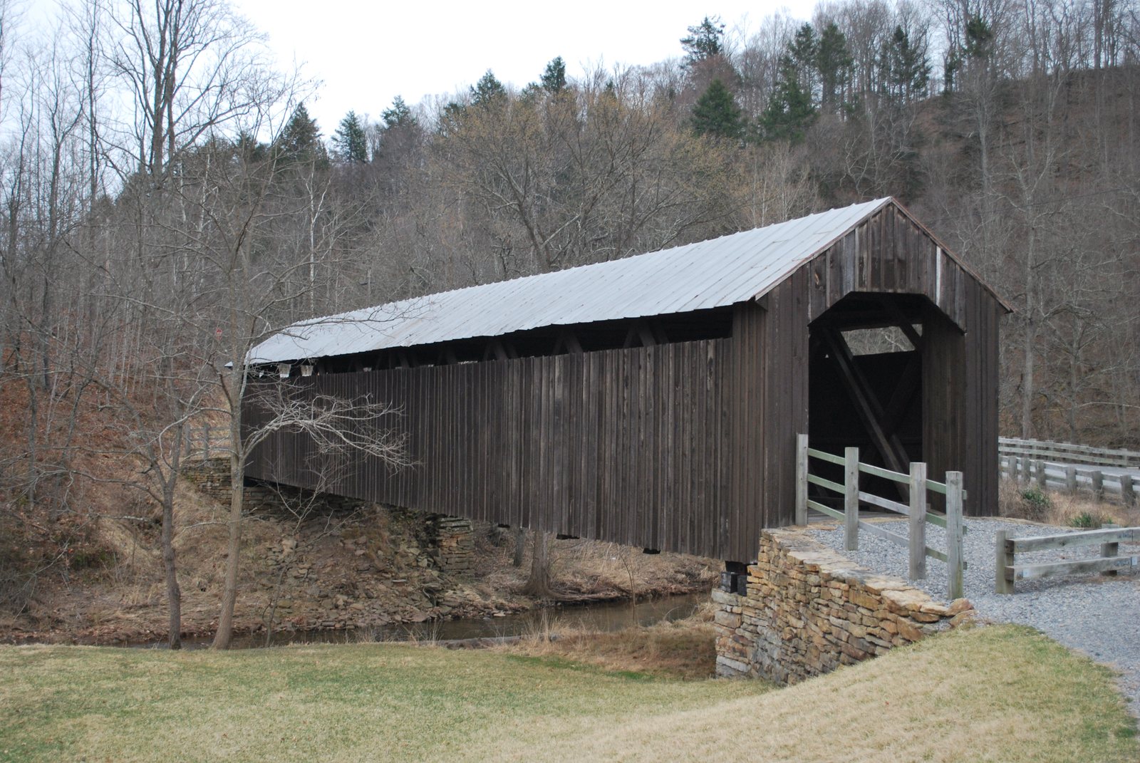
Locust Creek Covered Bridge

Locust Creek Covered Bridge

Year-round

~55-60 min

The last surviving covered bridge in Pocahontas County (built 1870, on the National Register of Historic Places since 1981), now pedestrian-only.

Five-minute stop, free, and the photo everyone takes. Easy to fold into the Hillsboro loop.

Hours
Outdoor site, always accessible, free.
Address
Near Denmar, off Locust Creek Road, ~6 miles from Hillsboro, WV
Our tip
A free, quick, year-round stop, easy to fold into a drive out toward Droop Mountain or Beartown.
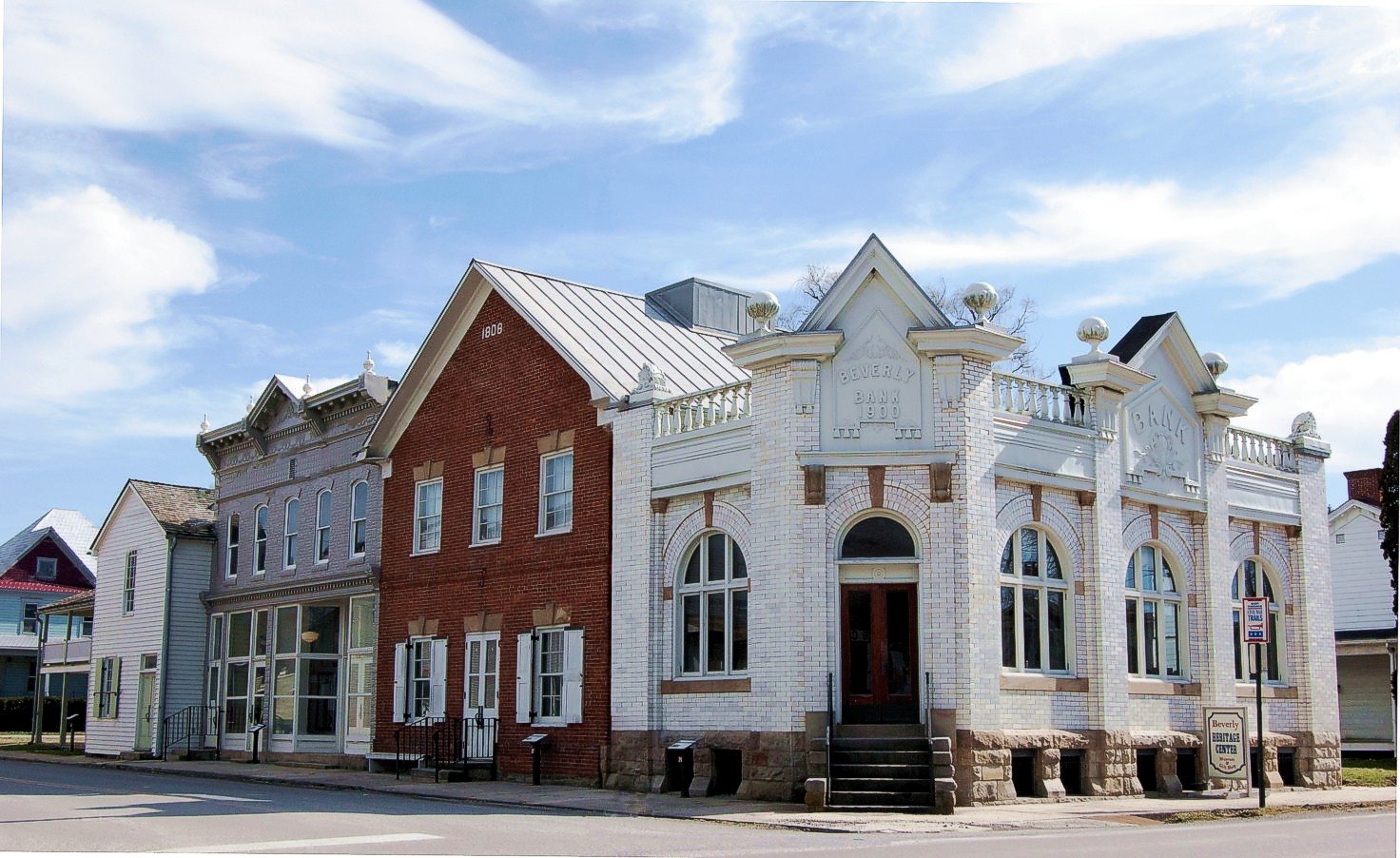
Beverly Heritage Center

Beverly Heritage Center

~1 hr 15-20 min

Museum complex of 4 historic buildings (Beverly Bank, Randolph County Courthouse, Hill Building, Bushrod Crawford building) covering Native history, pioneer settlement, the Battle of Rich Mountain, and Civil War history in central WV.

Hours
Tue-Sun 10am-5pm. Fall events (like a Historic Beverly Lantern Tour in October) suggest it runs into fall, but no explicit year-round confirmation was found, call to confirm shoulder-season hours.
Address
4 Court Street, Beverly, WV 26253

304-637-7424beverlyheritagecenter.org ↗

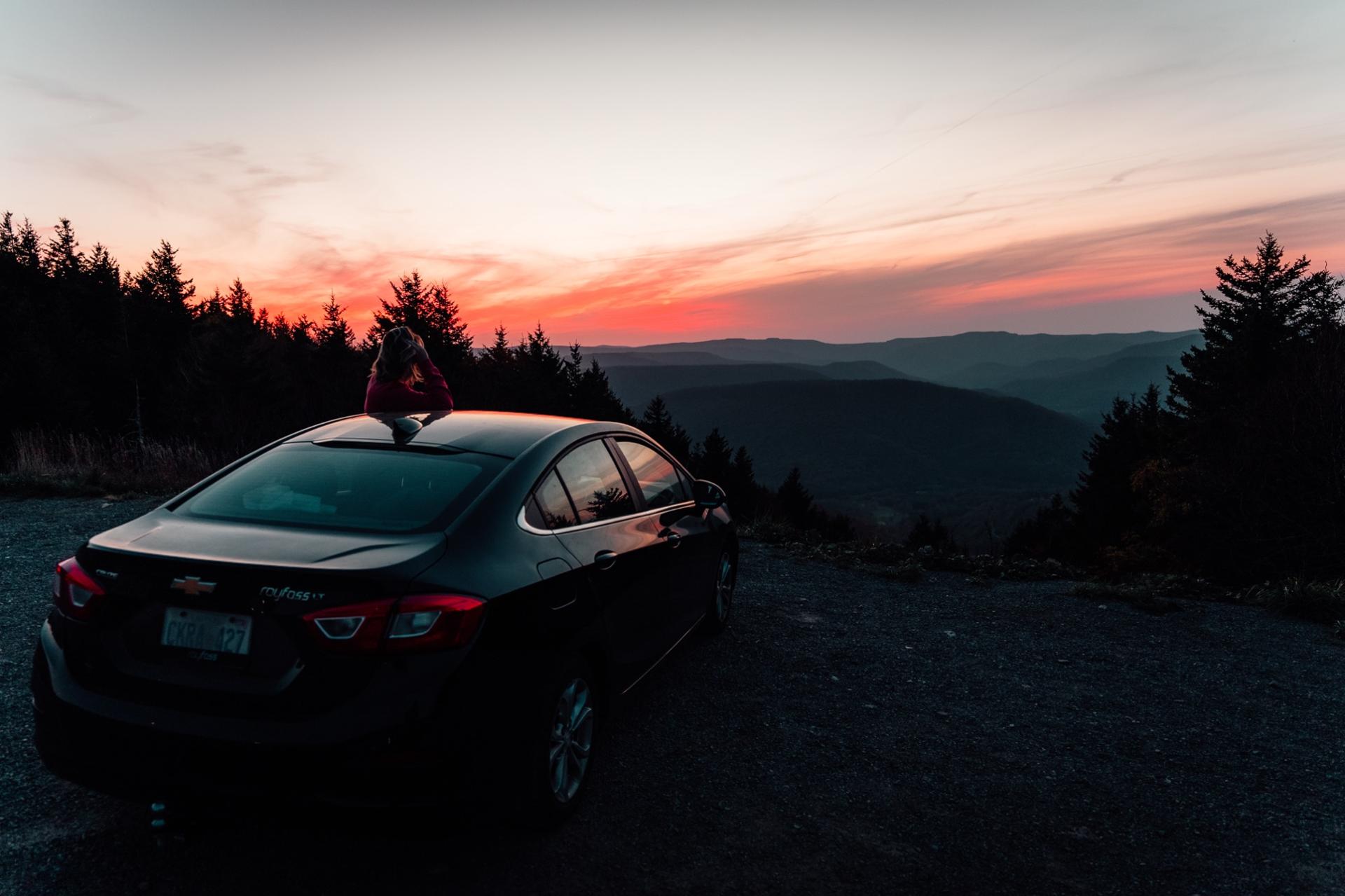
Sunset at a mountain overlook on the drive to Snowshoe

Our loops

Three days we actually plan

Pick one per stay, not three. Each is a full day with lunch, and each ends back at the house before dark. Fishing on the way? The fly-fishing guide has the rivers these roads cross. Want to hike Falls of Hills Creek or Seneca Rocks properly instead of just seeing them from the car, or ride the Greenbrier River Trail these roads run beside? The hiking guide and the biking guide have the real distances.

  1. Loop 1

    The Hillsboro day

    Any season the roads are clear

    Leave after breakfast. Beartown's boardwalk, then Droop Mountain's tower, lunch in Marlinton, the covered bridge, and Watoga on the way back. Home for the hot tub by five. Add Pearl S. Buck's birthplace if it is a Friday or Saturday in summer.

  2. Loop 2

    The Cass and Green Bank day

    Late spring to late October

    Book the Cass train first; it sells out on peak days. Ride in the morning, eat the packed lunch at the depot, then twenty minutes north to Green Bank for the free science center and the guided bus tour. Drive home before dark, and look up. The sky out there is the darkest on the East Coast.

  3. Loop 3

    The Highland Scenic day

    Mid-May to mid-October, best in the second and third weeks of October

    Confirm the gate is open, pack a lunch, and take Route 150 slowly, stopping at every overlook. Falls of Hills Creek and Cranberry Glades are the two stops that turn a drive into a day. Loop back through Marlinton for dinner.

The reality of the county

Cell service, gas, and what to download

Pocahontas County is quiet on purpose. That is the charm and the catch. Two minutes of prep on the house WiFi saves a bad afternoon at a trailhead. The getting-here page covers the same problem on the drive in.

  • Assume no signal once you leave the mountain

    Coverage on US-219, WV-39, and the Highland Scenic Highway is patchy to none, and around Green Bank it is deliberately absent. Every home has WiFi; the car does not.

  • Download before you go

    Offline Google Maps for Pocahontas County, your Cass or Durbin tickets, and a screenshot of any reservation. Do it on the house WiFi over coffee.

  • Tell someone the plan

    Text us where you are headed and when you expect to be back. If the car will not start at a trailhead with no signal, that text is how anyone knows.

  • Gas before the loop

    Par Mar in Slatyfork on the way down, or Marlinton. There is no fuel on Route 150 and none at Cass.

The essentials

Groceries, gas, pharmacy, hospital

Wildcat Grocery in the Village and Wildcat Provisions cover forgotten basics and beer. For a real shop, the last big stores on the way in are in Elkins from the north and Marlinton from the south. Par Mar in Slatyfork is the last gas before the climb. The groceries and gas page puts those stops in order for your route and covers delivery to the door. Drive times are from the Village.

PlaceWhat it isDriveAddressPhone
Grocery
Slatyfork grocery cluster (IGA Express, Dollar General, Linwood Market)A small cluster of grocery and convenience options at the base of the mountain in Slatyfork.25-30 minRt 219, Slatyfork, WVn/a
Pocahontas IGAFull-service grocery store in Marlinton.40-45 min18838 Seneca Trail, Marlinton, WVn/a
Dollar General #915General/dollar store in Marlinton.40-45 min18914 Seneca Trail, Marlinton, WV 24954(681) 494-0140
Family DollarGeneral/dollar store in Marlinton.40-45 minRr 1 Box 46, Marlinton, WV 24954(304) 799-6332
Gas Station
Par Mar (Slatyfork)The closest gas and grocery stop to the mountain, your go-to for fuel and quick essentials.25-30 minRt 219, Slatyfork, WVn/a
Pharmacy
Pocahontas PharmacyLocal pharmacy in Marlinton.40-45 min106 Duncan Rd, Marlinton, WV(304) 799-4944
Rite Aid #2258Chain pharmacy in Marlinton.40-45 min19258 Seneca Trail, Marlinton, WV 24954(304) 799-6617
CVS (Elkins)Chain pharmacy in Elkins.50-60 min505 Randolph Ave, Elkins, WV(304) 636-5696
Hospital / Urgent Care
Pocahontas Memorial HospitalA 25-bed critical access hospital with a 24-hour ER and a rural health clinic, the closest hospital to Snowshoe.40-45 min150 Duncan Rd, Buckeye, WV 24924(304) 799-7400
Davis Medical CenterAn 80-bed acute-care hospital in Elkins with fuller specialty services than Pocahontas Memorial.50-60 min812 Gorman Ave, Elkins, WV 26241(304) 636-3300
Bank / ATM
First Citizens BankBank branch with a 24-hour ATM in Marlinton.40-45 min201 8th St, Marlinton, WVn/a
City National BankBank branch in Marlinton with ATM, safe deposit, and coin counter.40-45 min300 8th St, Marlinton, WVn/a
Laundry
Marlinton coin laundromatA coin-operated laundromat in Marlinton, worth calling ahead to confirm it's still operating under the same name.40-45 min820 2nd Ave, Marlinton, WVn/a
Post Office
Marlinton Post OfficeThe local post office, housed in a historic building with a notable mural inside.40-45 minMarlinton, WVn/a

Emergencies: dial 911. The nearest 24-hour ER is Pocahontas Memorial in Buckeye, about 45 minutes. for anything about the house.

Questions

What guests text us about

Distance, signal, and closures. Anything else, ; we answer within the hour.

How far is Cass Scenic Railroad from Snowshoe?

About 25 minutes from the Village, down the mountain and south on US-219 then east to Cass. It is our most recommended day trip.

Trains run from late spring through late October, and the Bald Knob run in October sells out, so book ahead on the park's site.

Is there cell service around Green Bank and Cass?

Very little, and around the Green Bank Observatory none on purpose; the area is inside the National Radio Quiet Zone.

Download offline maps and tickets before you leave the house. Every one of our homes has WiFi for when you are back.

What is open off the mountain when the resort is closed?

Almost everything on this page. The state parks, the waterfalls, Beartown, Droop Mountain, Cranberry Glades, and the rivers are open year-round.

Cass and the Durbin Rocket run late spring to late fall. The Highland Scenic Highway's parkway section closes for winter, and Pearl S. Buck's birthplace closes from mid-October to Memorial Day. Check before you go in April, May, and November.

Keep exploring

More of the Snowshoe guide

Where to stay

Come back to a hot tub

Day trips end better with a private hot tub and a full kitchen. The Timbers homes are the easiest in and out for a car-based trip.

See all seven homes