
Wander Luxe Lodgings
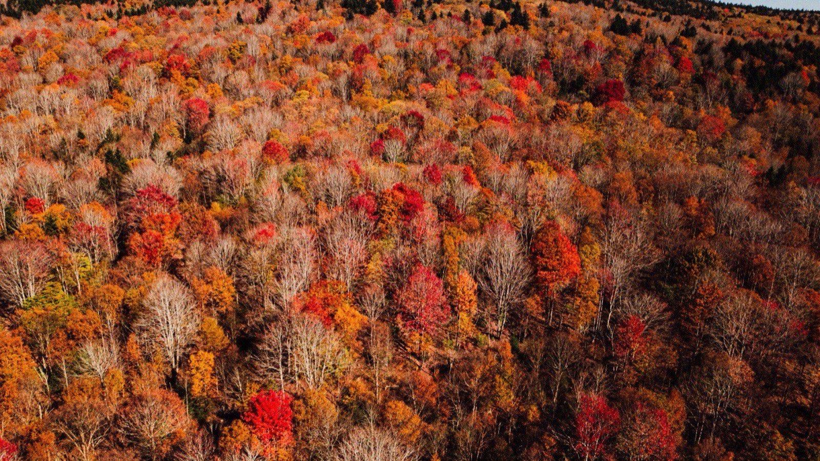
Peak fall color on Cheat Mountain from the air, near Snowshoe

Hiking

Hiking near Snowshoe

a lake loop to a two-hour climb

Spring, summer, and fall are the real hiking season here, and it is the part of the trip most guests never plan for. Below: an easy lake loop you can start from the Village with no car, the on-mountain climb to the fire tower, and two real destination hikes, Falls of Hills Creek and Seneca Rocks, each under 75 minutes away. Real trail names, real distances, checked against AllTrails, Trailforks, and the Forest Service in September 2026, not a guess.

An easy walk near the Village

No car, no trailhead, done before lunch.

Shavers Lake Trail

Easy

1.6 mi loop · About 30 minutes

A flat, well-used loop around the shoreline of Shavers Lake, with a couple of short bridges and small punchy climbs but nothing that counts as a real hill. It is the trail we send first-timers, grandparents, and anyone breaking in new boots.

Dogs are welcome on leash. Pair it with an hour on the Boathouse deck and call it a morning.

Drive
At the resort
Trailhead
Ride Ballhooter down from the Village, or walk the road from the Shavers Lake base area
Find the trailhead ↗

A half-day, still on the mountain

Real climbing, real views, no drive required.

6,000 Steps to the Fire Tower

Moderate

1.5 mi one way to the tower and back the same way, or 6.9 mi for the full loop with the Cheat Mountain Ridge Trail · About 500 ft to the tower; about 1,007 ft for the full loop gain · 45 minutes to an hour up and back to the tower; 3 to 3.5 hours for the full loop

A steady, switchbacked climb from the Soaring Eagle Express up to the historic fire tower on Cheat Mountain, with the best 360-degree view on the property from the top. For the fuller half-day version, come down by the Cheat Mountain Ridge Trail instead of retracing your steps: 3.6 miles along the ridge with east-facing views and a stop at the Sunrise Backcountry Hut, down through Bail Out or back along 6,000 Steps to the Ballhooter lift.

Pick up a trail map at the Depot or the Mountain Adventure Center before you start. The backcountry trails braid together up there, and the map is what keeps you on the named route.

Drive
At the resort
Trailhead
Starts near the base of the Soaring Eagle Express on South Mountain
Find the trailhead ↗

Worth the drive

Under 75 minutes each, and a full morning or afternoon out.

Falls of Hills Creek

Moderate

1.4 mi round trip · About 290 ft gain · 45 minutes to an hour

Three waterfalls on one short out-and-back: the upper falls (25 ft) from a paved, accessible overlook a few hundred feet in, the middle falls (45 ft), and the lower falls (63 ft), West Virginia's second-highest waterfall, at the bottom of 382 stairs. The stairs back up are the real workout here, not the distance.

Combine it with Cranberry Glades Botanical Area next door, a flat boardwalk through a boreal bog that takes twenty minutes and looks nothing like the rest of West Virginia.

Drive
About 50 to 55 minutes
Trailhead
Falls of Hills Creek Trailhead, off WV-39/55, about 5 miles west of the Cranberry Mountain Nature Center
Find the trailhead ↗

Seneca Rocks

Hard

2.6 mi round trip · About 700 ft gain · 1.5 to 2 hours

Steps and switchbacks climb steadily to an observation platform below the summit, with a view down the Germany Valley that opens up the whole way. It is steep enough to feel like a real hike and graded well enough, with benches along the way, that most fitness levels can do it.

Stop at the platform. The scramble beyond it to the true summit is technical rock climbing, not hiking; book a guided climb with Seneca Rocks Mountain Guides or the Seneca Rocks Climbing School, both based at the Discovery Center, if that is the trip you want.

Drive
About 60 to 75 minutes
Trailhead
Seneca Rocks Discovery Center, 13 Roy Gap Rd
Find the trailhead ↗

Still more, within about 90 minutes

The rest of the county

Cranberry Glades, Spruce Knob, Watoga, and Beartown are all real, all free or close to it, and all detailed further on our day trips page, which also has drive times and a loop that strings a few of these together.

Resort Trails (Shavers Lake, Cheat Mountain Ridge, Bail Out, 6,000 Steps)

At Snowshoe Resort

A network of marked trails right at the resort, including the Shavers Lake Trail, Cheat Mountain Ridge Trail, Bail Out, and 6,000 Steps.

Watoga State Park Trail Network

Easy to Moderate · 37.5 mi · 35-40 min

Over 37 miles of trails across the state's largest park, including the Allegheny Trail, Ann Bailey, Arrowhead, Bearpen, Brooks Memorial Arboretum, Buck and Doe, Burnside Ridge, Honeymoon, Jesse's Cove, Kennison Run, and Lake Trail, plus access to the Greenbrier River Trail.

Address
4800 Watoga Park Rd, Marlinton, WV

Cranberry Bog Boardwalk

Easy · 0.6 mi · 45-55 min

A wheelchair-accessible boardwalk loop through a rare boreal bog with carnivorous plants.

Address
Cranberry Glades Botanical Area, off Rt 39

Cow Pasture Trail

Moderate · 6 mi · 45-55 min

Borders the Cranberry Wilderness, a longer, quieter trail out of the Cranberry Glades area.

Address
Cranberry Glades / Cranberry Wilderness border

Beartown State Park Boardwalk

Easy · 45-50 min

A boardwalk loop winding through unique sandstone rock crevices and formations.

Address
Beartown State Park, near Hillsboro, WV

Whispering Spruce Trail

Easy · 0.5 mi · 75-90 min

An easy loop circling the summit of Spruce Knob, West Virginia's highest point, with an observation tower.

Address
Spruce Knob parking area (FR 104)

Spruce Knob Summit Spur

Easy · 0.2 mi · 75-90 min

A short spur trail to the official West Virginia high-point marker (4,863 ft).

Address
Off Whispering Spruce Trail, Spruce Knob

Which home to book

Base by which trail you want first

the trailhead decides it

We are not going to invent a hiking amenity that is not real. Here is what is actually true about the walk from each home.

  • The fire tower and Cheat Mountain Ridge

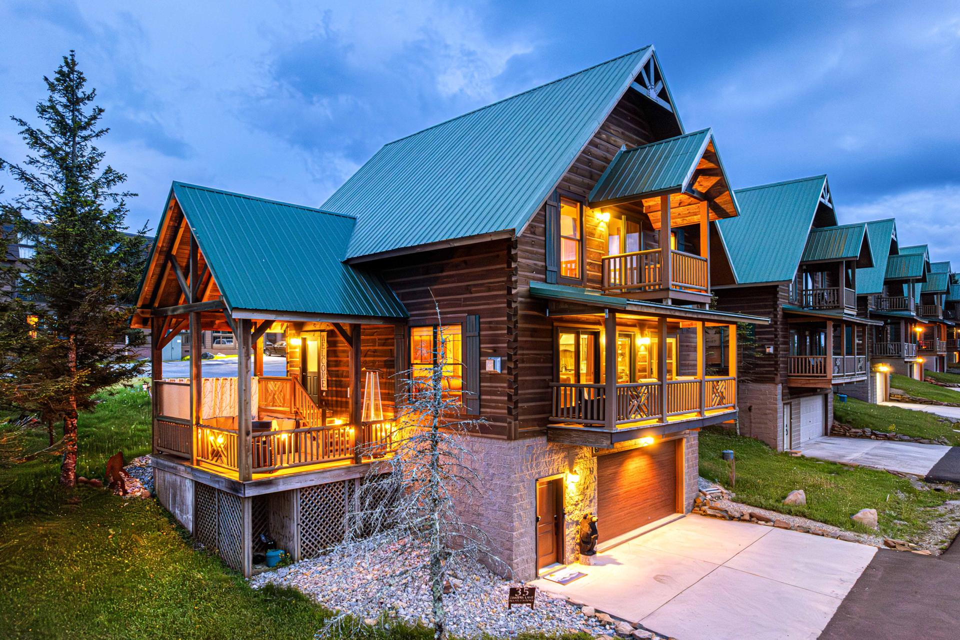
    Timbers 3, Timbers 5, and 305 Soaring Eagle. All three are a two-to-five-minute walk from the Soaring Eagle Express, which is the trailhead for 6,000 Steps.

  • Shavers Lake Trail, no car

    The three Summit condos, 103C, 107D, and 202D, are a five-minute walk from the Village and the top of Ballhooter, which is how you get down to the lake loop.

  • Falls of Hills Creek or Seneca Rocks

    Every home is roughly the same drive to either trailhead; none of ours is meaningfully closer. Pick the home for the hot tub after, not the trailhead.

  • After the hike

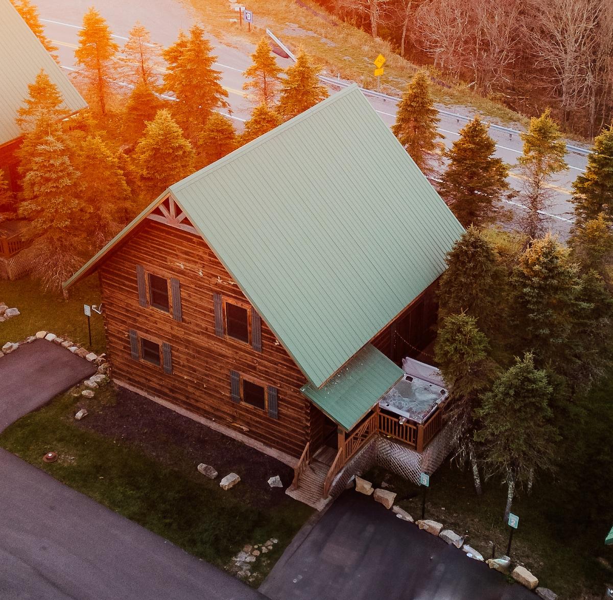
    A private hot tub at Timbers 3 or Timbers 5 is the honest answer for tired legs. Every home has a full kitchen for the early start and the big dinner after.

Before you go

What to bring, what to know

No permit or license is needed for any of these. The rest is the same mountain-county reality that shows up on every page of this guide.

  • Layer up, even in July

    It drops into the 50s at the summit most nights, even mid-summer, and the fire tower ridge catches real wind. A hoodie in the pack is never wrong.

  • Grab a trail map in the Village

    The Depot and the Mountain Adventure Center hand out the current backcountry trail map. The named trails braid together up there; the map is worth the two minutes.

  • Cell service disappears past the resort

    Coverage fades once you leave the mountain and is deliberately thin around Green Bank. Download offline maps on the house WiFi before you drive to a trailhead.

  • Water and a real pair of shoes

    There is no water on any of these trails. Falls of Hills Creek's stairs and Seneca Rocks' switchbacks are both easier in real hiking shoes than sandals.

More on signal, gas, and what is open in the shoulder months is on the off-the-mountain page. Riding instead of walking? The biking guide covers the lift-served Bike Park and the roads and rail trail nearby.

From our own hikes

The Shavers Lake Trail, up close

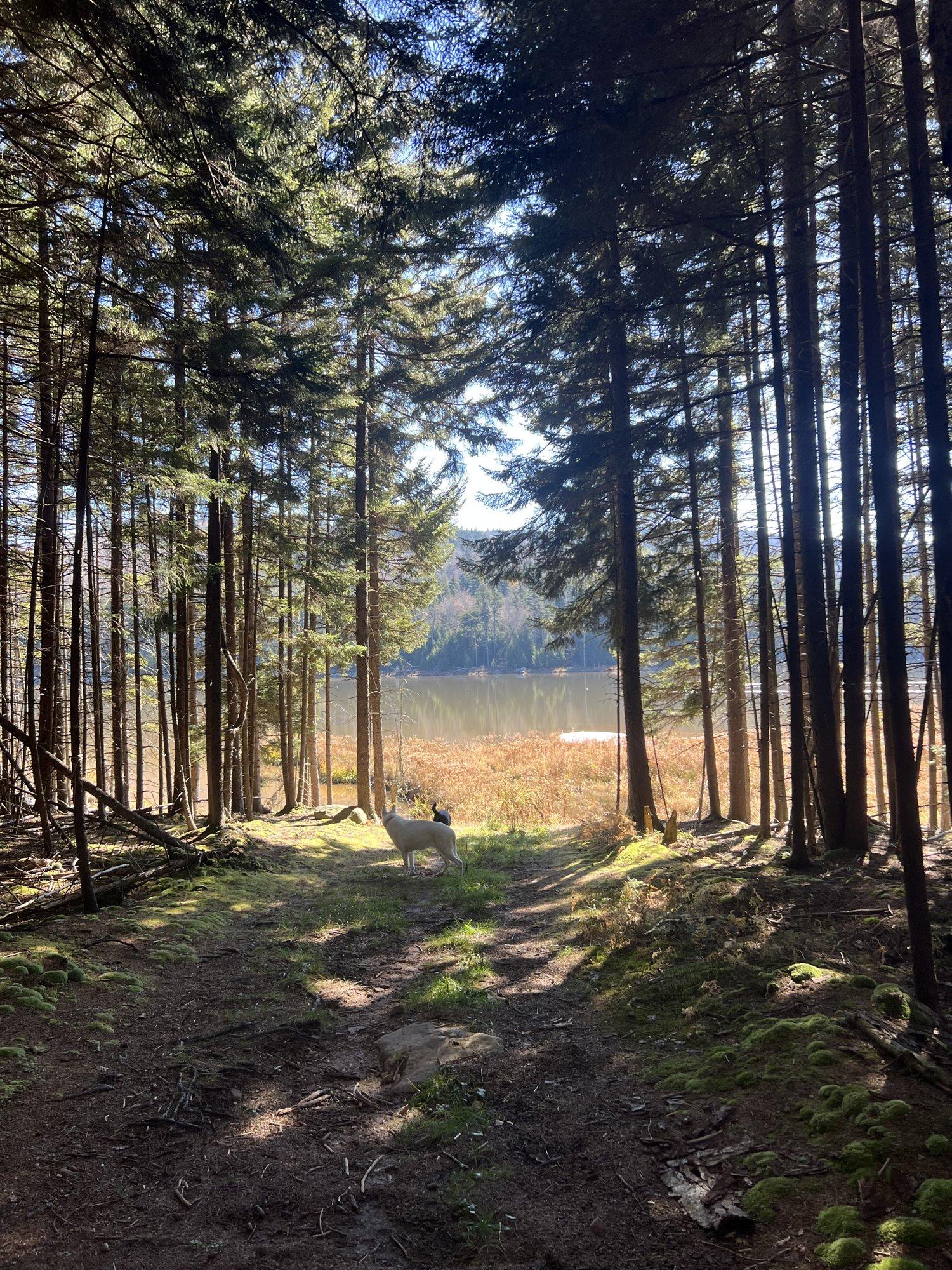
These are ours, taken on the loop over a few summers and one fall. This is what the easy walk from the Village actually looks like.

A sunlit dirt trail through tall spruce on the Shavers Lake Trail at Snowshoe
The first stretch under the spruce, soft underfoot and shaded by nine in the morning.
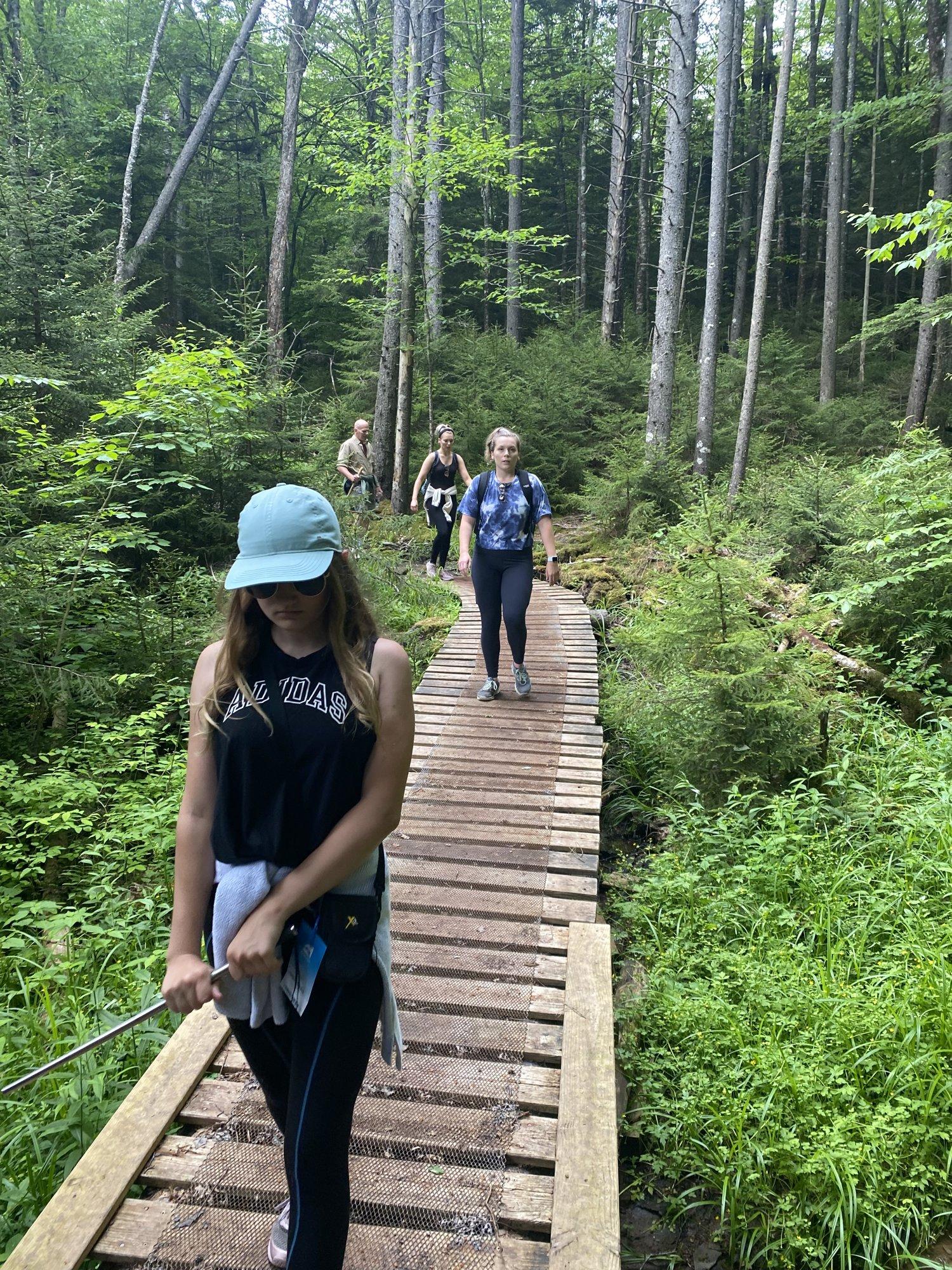
The boardwalk on the Shavers Lake Trail, a group hiking through the woods in summer
The boardwalk over the wet section, the part small kids remember.
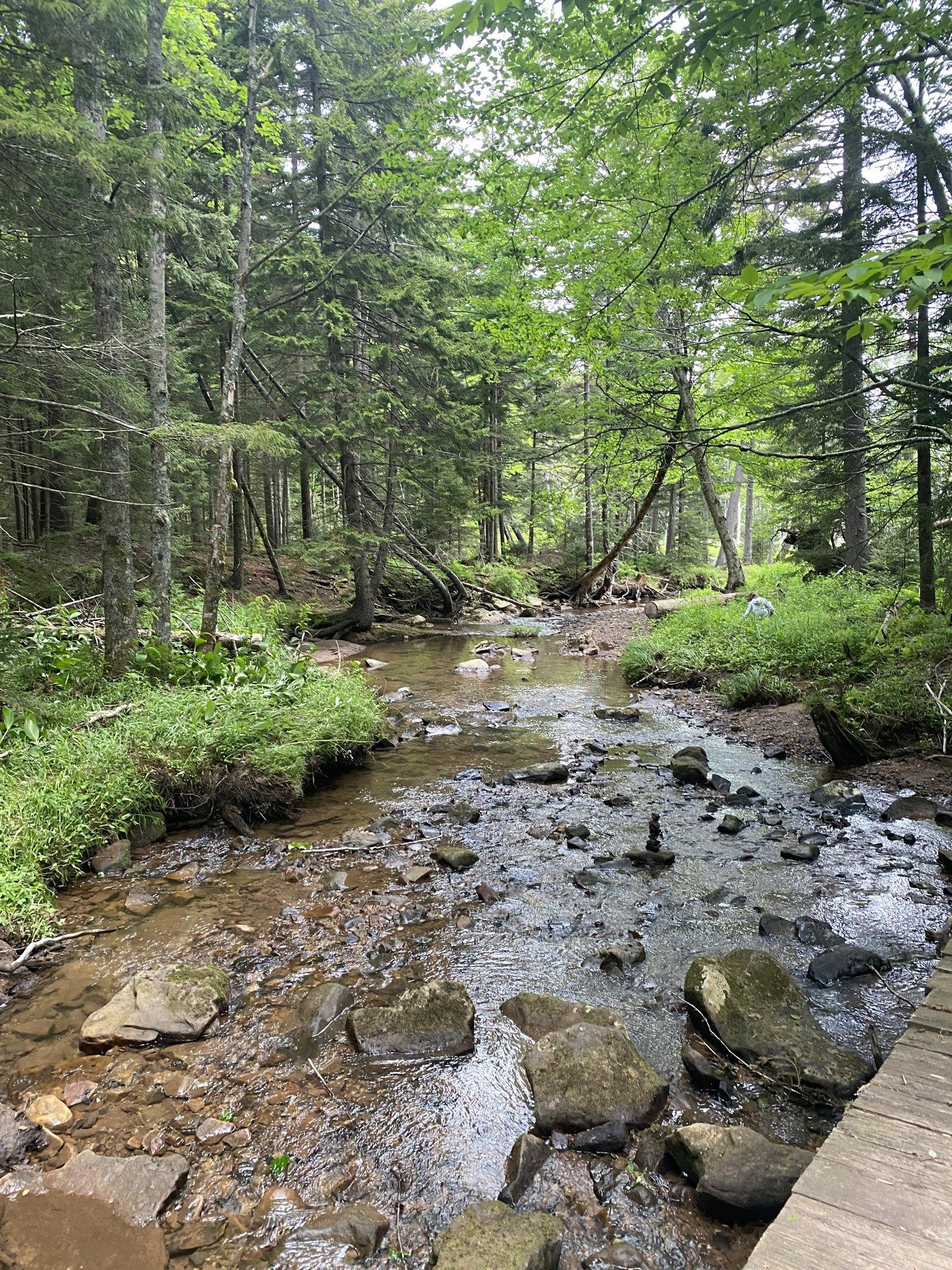
A mossy creek running over rocks beside the trail near Snowshoe
The creek crossing about halfway around. Moss on everything, even in August.
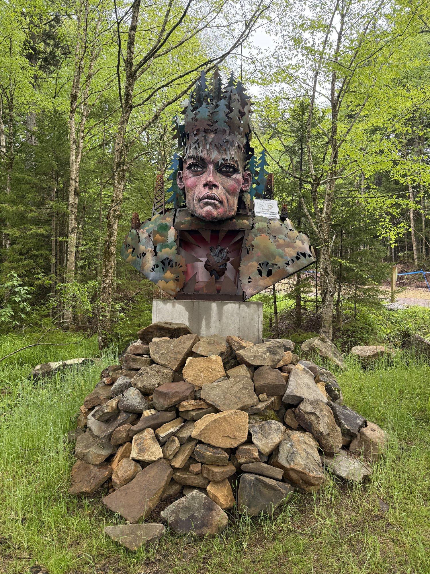
The carved wooden face sculpture on the Shavers Lake Trail
The carved face in the trailside stump. Nobody seems to know who did it.
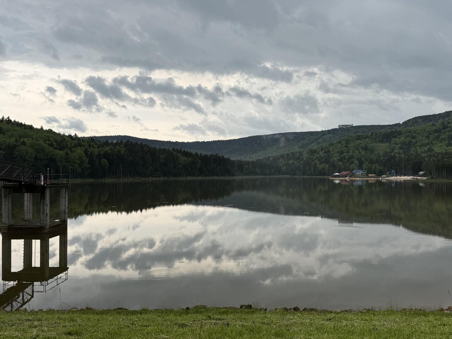
Shavers Lake dead still, clouds reflected in the water
The lake on a still morning, before the first paddleboard goes out.
A white shepherd and a black dog walking a wooded trail at Snowshoe
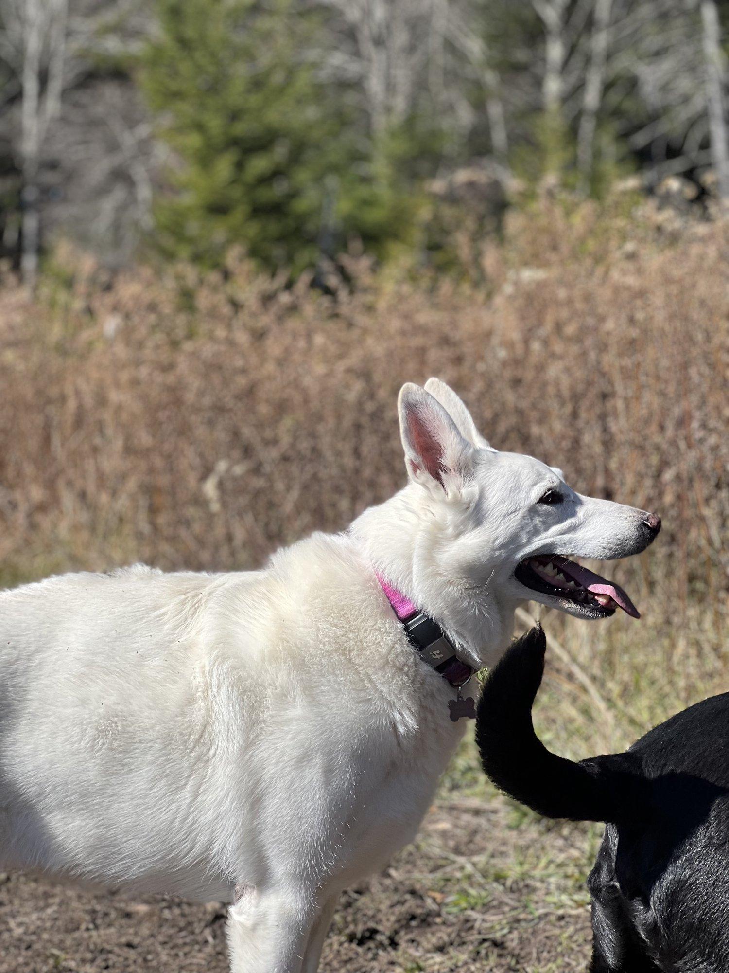
Dogs are fine on the loop, on a leash. Ours have walked it more times than we have.

Questions

What guests text us about hiking

Distance, difficulty, and which trail to pick. Anything else, ; we answer within the hour.

Is there an easy hike near Snowshoe Village?

Yes. The Shavers Lake Trail is a flat 1.6-mile loop around the lake, reachable by riding Ballhooter down from the Village or walking the road from the base.

It takes about 30 minutes and dogs are welcome on leash. Pair it with an hour on the Boathouse deck.

What is the best hike right at the resort?

6,000 Steps to the historic fire tower on Cheat Mountain, a steady switchbacked climb from the Soaring Eagle Express with the best 360-degree view on the property at the top.

It is about 1.5 miles one way and 500 feet of climbing. For a fuller half-day, come down by the Cheat Mountain Ridge Trail instead of the way you went up, about 6.9 miles total.

What is the best hike within a short drive of Snowshoe?

Falls of Hills Creek, about 50 to 55 minutes away: three waterfalls on a 1.4-mile round trip, with the 63-foot lower falls, West Virginia's second-highest, at the bottom of 382 stairs.

Seneca Rocks, about 60 to 75 minutes away, is the harder, higher-payoff option: 2.6 miles round trip to an observation platform with a sweeping valley view.

Do I need a permit to hike near Snowshoe?

No. None of the trails on this page require a permit or a license.

A trail map from the Depot or the Mountain Adventure Center is worth grabbing for the on-mountain backcountry trails, which braid together.

Keep exploring

More of the Snowshoe guide

Where to stay

Stay a walk from the trailhead

Timbers 5 and Timbers 3 are a two-minute walk from the Soaring Eagle Express and the fire tower climb. 103C Summit is five minutes from the Village and the Shavers Lake loop.

See all seven homes