

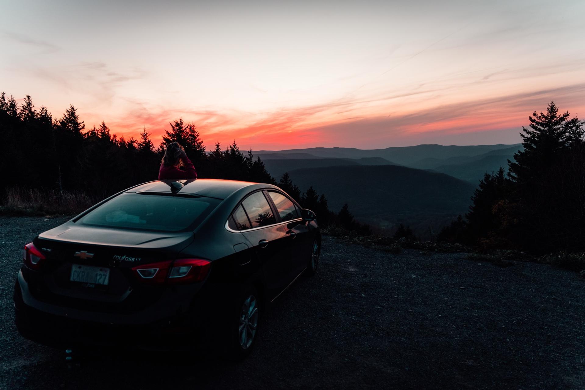
Getting here from Washington, DC
Washington, DC to Snowshoe
four hours, two mountain ranges
From DC there is one start and one usual ending. Everyone takes I-66 west to I-81 at Strasburg, then VA-55 west, which becomes US-48, Corridor H, in West Virginia: four lanes to Moorefield. The way most people finish, and the resort's own printed directions, is WV-55 through Petersburg and Seneca Rocks, then WV-28 south through Judy Gap, Bartow, and Green Bank, and WV-66 west through Cass and up the back of the mountain. It stays in the valleys until that last climb. The older ending is I-81 south to Staunton and US-250 west through Monterey, shorter on the map and slower on the road: US-250 is a truck route over seven ridges with real switchbacks.
Drive time
4 to 4.5 hours
from downtown, normal conditions, no stops
Distance
about 220 to 230 miles
to the Village at 4,848 feet
Check-in
4:00 PM
your code works whenever you arrive
The route
The way people actually go
Put Snowshoe Mountain Resort in the GPS for the long part. Once you pass Cass, switch to the exact pin we send you; street addresses on the mountain resolve to the resort entrance, not the door.
The other way
The snow ending: stay on Corridor H past Moorefield to Davis and Thomas, then US-219 south through Parsons and Elkins to Slatyfork, and climb Route 66 from Par Mar. About an hour longer, but it keeps you on the plowed truck roads and brings you up the main entrance instead of the steep side from Cass.
- 1
I-66 west out of DC to I-81 at Strasburg, about 75 miles.
- 2
I-81 south one exit to VA-55 west at Strasburg. VA-55 becomes US-48, Corridor H, at Wardensville, WV. Watch the speed limit through Wardensville and Moorefield.
- 3
Leave Corridor H at Moorefield for WV-55 south through Petersburg to Seneca Rocks, then WV-28 south (shared with US-33 as far as Judy Gap) through Bartow, Arbovale, and Green Bank.
- 4
Two miles past Green Bank, turn right onto WV-66 west. Through Cass, over the Greenbrier River, and up the back of the mountain to the resort entrance on the right.
Where to stop
The last grocery, the last gas, the climb
In order. There is one small grocery on the mountain and no gas at all, so the tank and the first night's dinner get sorted on the way in.
1 · Last full grocery
Moorefield or Petersburg
Moorefield, WV, at the end of the four-lane on Corridor H, or Petersburg, WV, eleven miles on, both before the two-lane part
Moorefield has a Walmart and a Food Lion; Petersburg has a Food Lion. Either is the last full grocery on this route. Trent's in Arbovale is a real small grocery closer in. On the Staunton ending, shop in Staunton; Monterey has a small market.
2 · Last gas
Petersburg, then Trent's in Arbovale
Fill in Moorefield or Petersburg. Trent's General Store in Arbovale, two miles before Green Bank, is the last gas before Cass
Trent's closes at 7pm and on Sundays. There is no gas between Green Bank and the top of the mountain. If you finish through Elkins and US-219 instead, Par Mar at Slatyfork is the last stop.
3 · The climb
WV-66 from Cass, the climb
From Cass over the Greenbrier River to the resort entrance, about 20 minutes
Steep and narrow with hairpins, and in a storm it feels unplowed. The entrance is on the right near the top. Nothing is open after Cass. In snow we come around by Marlinton and climb Route 66 from Par Mar instead.
4 · On the mountain
Wildcat Grocery
At the Village, a five-minute walk from the Summit condos
Also listed on some map apps as Wildcat Grocery, same store. Milk, eggs, bread, some produce and meat, hot coffee, and the biggest beer cave on the mountain. Resort prices. Hours shrink in the closed seasons.
Best arrival time
Be on the mountain road in daylight
Leave DC by 11am for the 4pm check-in with one stop. In winter, leave by 10am; the climb from Cass is the part you want in daylight.
Cell service is gone for miles around Green Bank (the observatory's radio quiet zone) and on most of the climb from Cass. Download offline maps and our check-in message before you leave, and send the "almost there" text from Petersburg or Monterey, the last towns with a reliable bar of signal.
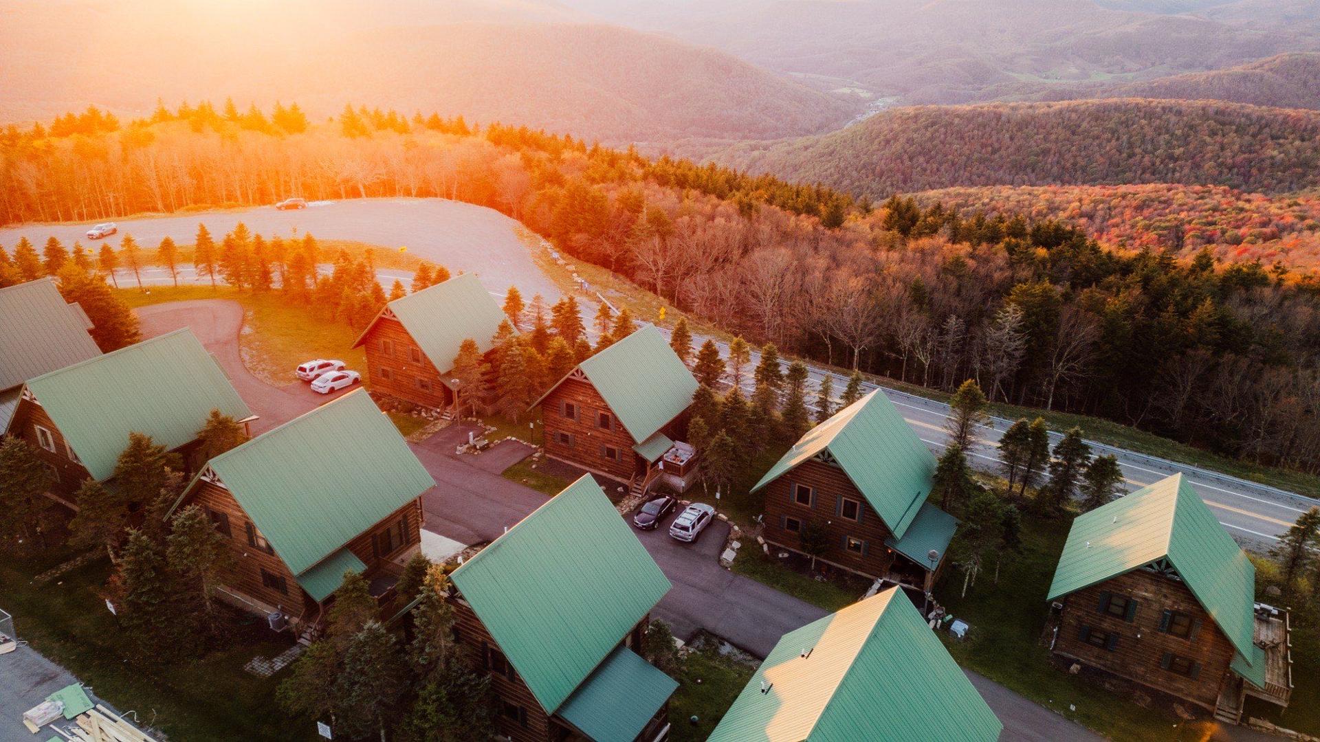
Winter notes
From Washington, DC in ski season
the last ten miles are the trip
Whichever way you come, you end the drive climbing about 2,000 feet on a plowed two-lane road. Here is what we tell every winter guest, plus the parts that are specific to your route.
- Corridor H is four lanes and a truck route, so it is plowed early and stays open in all but the worst storms. The high, open plateau around Mount Storm and Davis is the snowiest part of the trip and it drifts; WV 511 will show it.
- WV-66 from Cass up the back of the mountain is steep and narrow with hairpins, and in a storm it feels unplowed. In real snow, stay on Corridor H to Davis and finish through Elkins and US-219 to Slatyfork, then climb Route 66 from Par Mar.
- US-250 through Monterey is the ending to avoid in snow. Seven ridges, switchbacks, and truck traffic.
- The last 10 miles climb about 2,000 feet from the valley to the Village at 4,848 feet. It snows at the top when it rains at the base.
- AWD or 4WD with real tread is the honest recommendation from December to March. The resort plows and treats the road; in six seasons no guest has needed chains. Keep a set in the trunk if it makes you feel better.
- Check WV 511 for live plow and closure status before you leave, and again at your last stop with signal.
- Aim to reach the bottom of the climb before dark. Winter sunset at Snowshoe is about 5pm. Your door code works whenever you arrive, so a late, slow climb beats a fast one.
Questions
Washington, DC to Snowshoe FAQ
Anything else, . We answer within the hour, and we would rather you ask than guess on a mountain road.
What is the best route from DC to Snowshoe?
I-66 west to I-81, VA-55 west into Corridor H (US-48), WV-55 through Petersburg and Seneca Rocks, WV-28 south through Green Bank, and WV-66 through Cass. That is the resort's own printed route and what most regulars drive: valleys until the last climb. In snow, stay on Corridor H to Davis and come down through Elkins and US-219 to the main entrance instead.
How long is the drive from DC to Snowshoe?
About 4 to 4.5 hours from downtown in normal conditions with no stops, about 220 miles. Friday afternoon traffic on I-66 adds the most; snow on the last 40 miles adds the rest.
Where do I stop for groceries between DC and Snowshoe?
Moorefield, at the end of the four-lane, has a Walmart and a Food Lion; Petersburg has a Food Lion. Trent's General Store in Arbovale, just before Green Bank, is a real small grocery and the last gas before Cass, closed Sundays. Wildcat Grocery at the Village covers basics once you arrive.
Coming from somewhere else?
Drive guides by city
Keep exploring
More of the Snowshoe guide
Where to stay
Park once and walk
Every one of our homes is on the mountain, not at the base. Park when you arrive and leave the car until you go home.
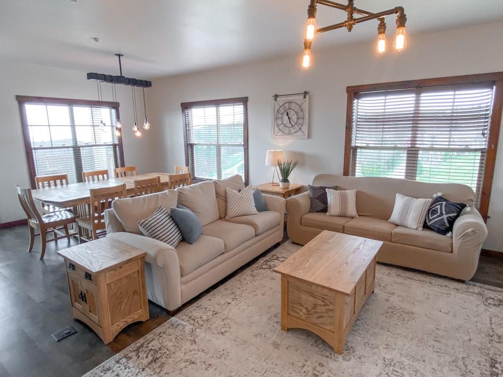 SKI IN/OUT - TOP 10%
305 Soaring Eagle
Sleeps 10 · Ski-in / ski-out · hot tub
3 bed · 2 bath · 1,400 sq ft
South Mountain
4.96
126 reviews
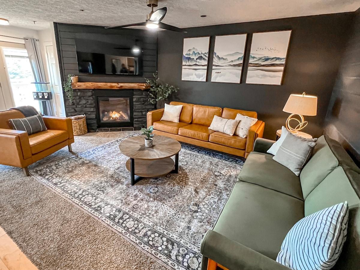 5-MIN WALK TO VILLAGE
107D Summit
Sleeps 9 · Walk to the slopes
3 bed · 2 bath · 1,100 sq ft
North Mountain
4.84
142 reviews
 GUEST FAVORITE - TOP 10%
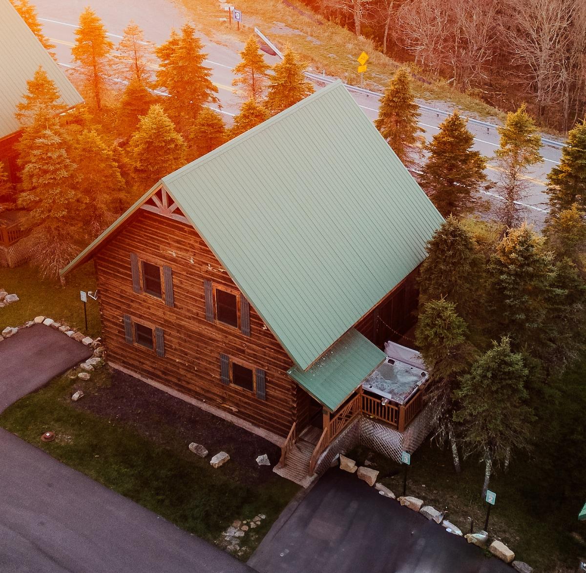
Timbers 3
Sleeps 12 · Walk to the slopes · private hot tub · pet friendly
4 bed · 3 bath · 1,861 sq ft
South Mountain
4.93
129 reviews